Spatial Intelligence and Environmental Analytics Lab
Department of Geomatic Engineering & Geospatial Information Systems, JKUAT — Nairobi, Kenya
We measure how much carbon Kenya’s mangrove forests store, and how much marine life they support. SIEAL builds automated pipelines that combine satellite imagery, spaceborne LiDAR, underwater video and machine learning, turning raw Earth observation data into numbers that carbon and biodiversity markets can actually act on.
Most biodiversity credit and disclosure frameworks were designed for forests on land, leaving marine and coastal systems poorly served. We structure our outputs to meet TNFD, Verra VM0033, CSRD and the GRI Biodiversity Standard, so that what we measure can be used in practice — not just published.
What we work on
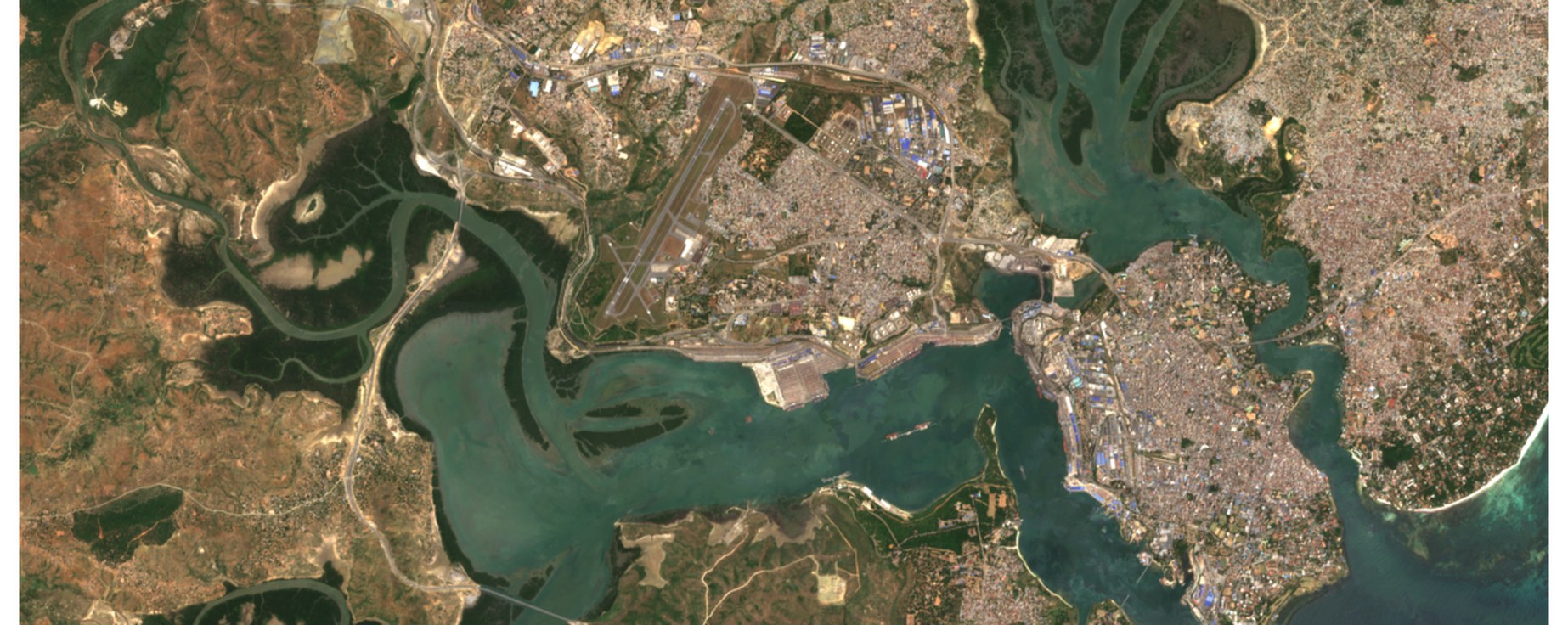
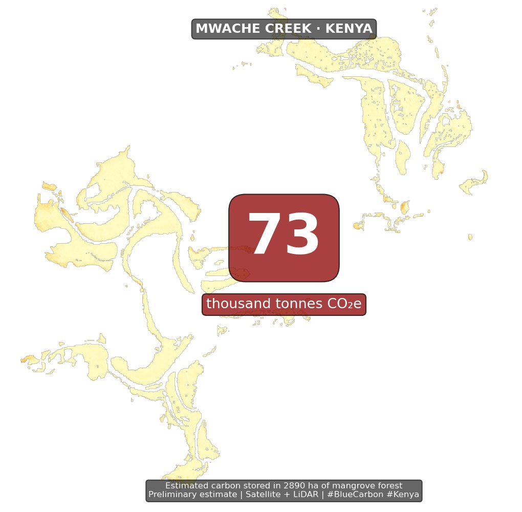
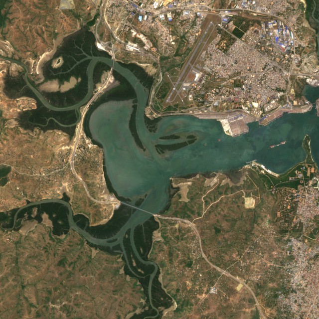
Blue carbon stock mapping. We fuse Sentinel-2 optical imagery with NASA GEDI spaceborne LiDAR and field allometry to estimate above- and below-ground carbon across mangrove extents, at a resolution and accuracy that carbon project developers can verify against.
Blue Biodiversity Integrity Index. Carbon is only half the story. We derive a biodiversity integrity index from stereo-video transects using computer vision, so that a mangrove’s ecological condition can be reported alongside the tonnes of CO2 it holds.
Deep-BII. We are extending the same approach below 200 m with the Ocean Discovery League’s Western Indian Ocean cohort, in support of BBNJ Treaty implementation.
SIEAL
Spatial Intelligence and Environmental Analytics Lab
Department of Geomatic Engineering & Geospatial Information Systems, JKUAT